Learning about WR absolute calibration at NIKHEF, Amsterdam.
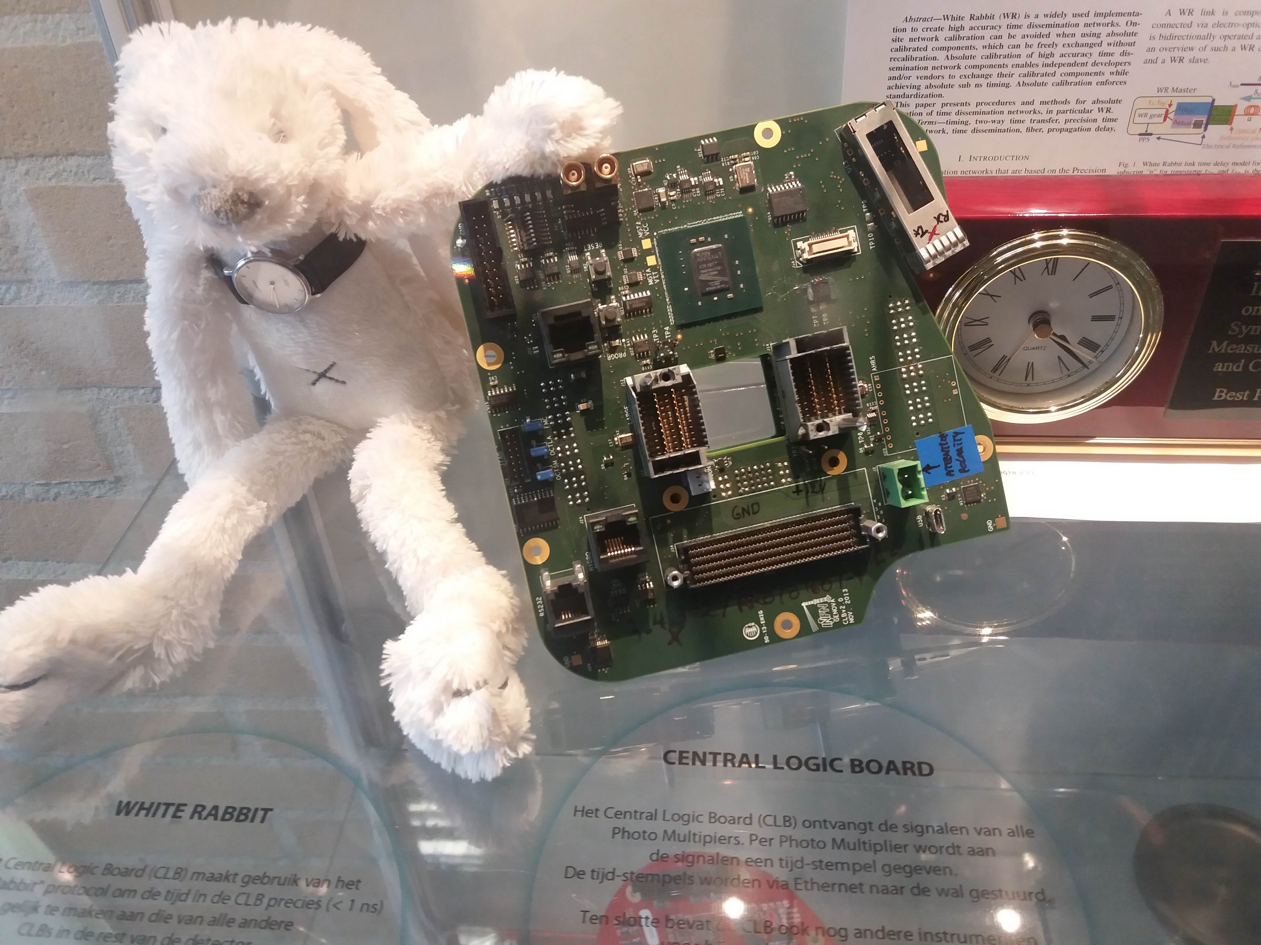
Learning about WR absolute calibration at NIKHEF, Amsterdam.
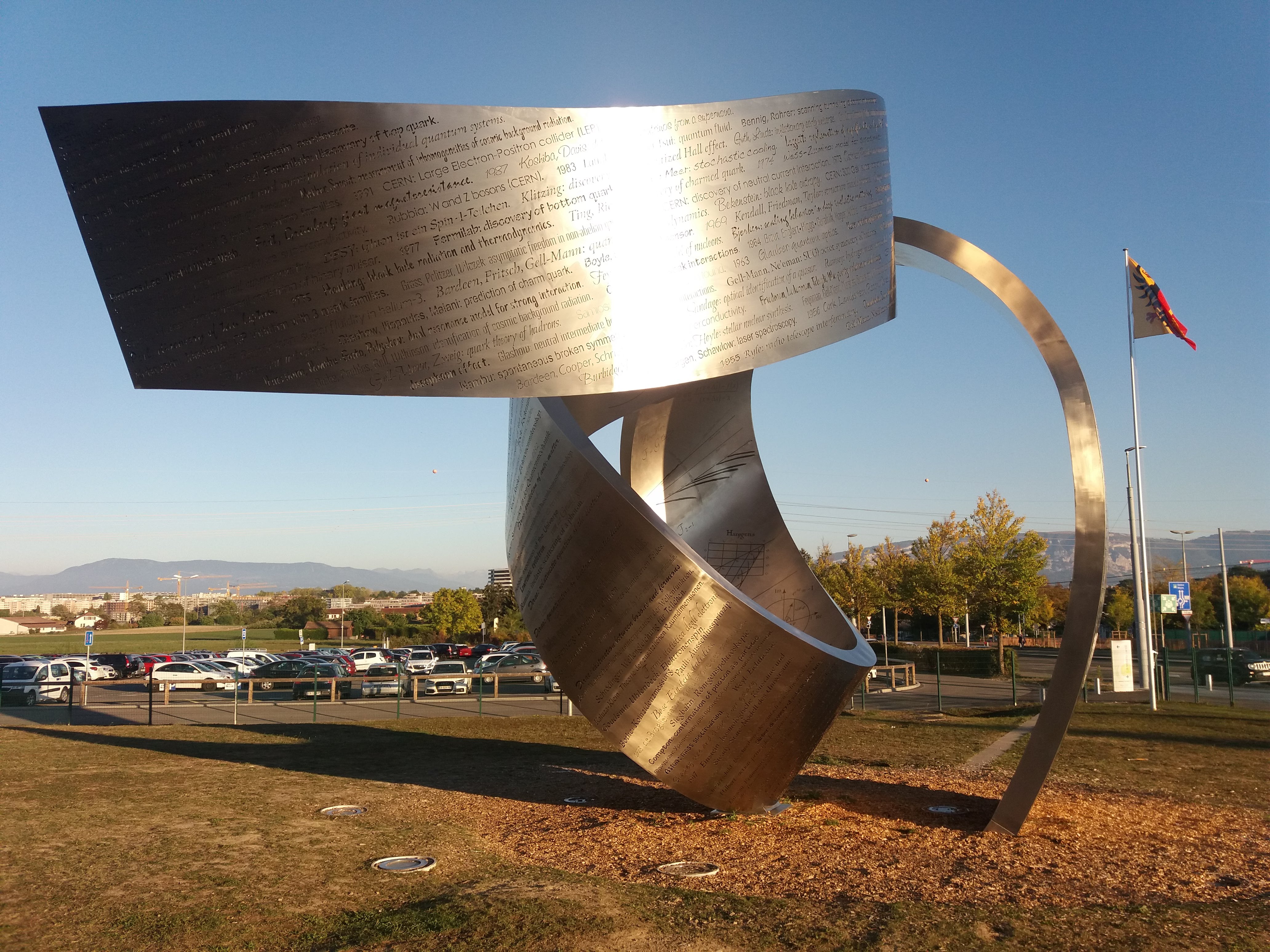
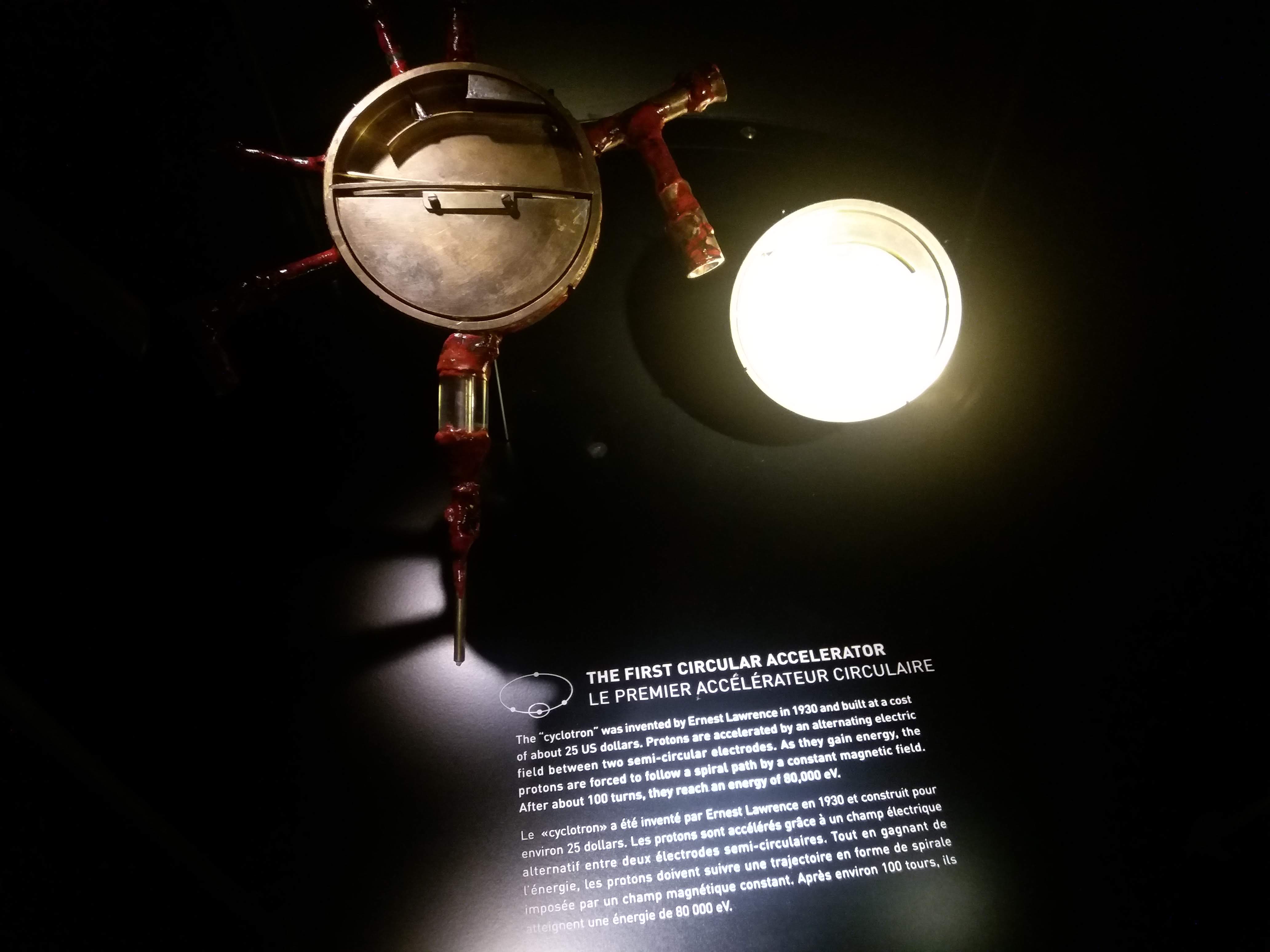
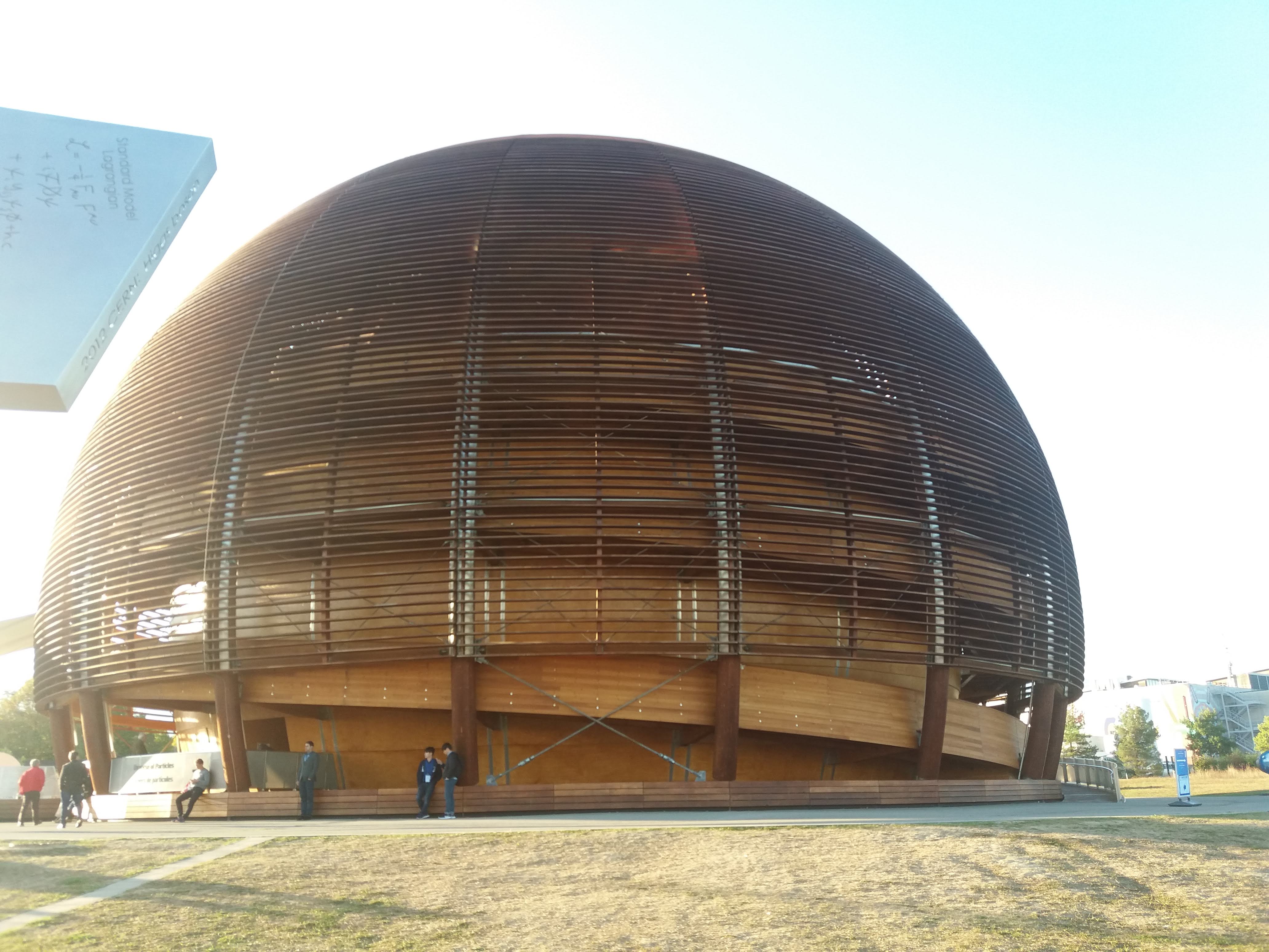
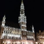
ISPCS-2018 and the 10th WR-workshop were held at CERN.
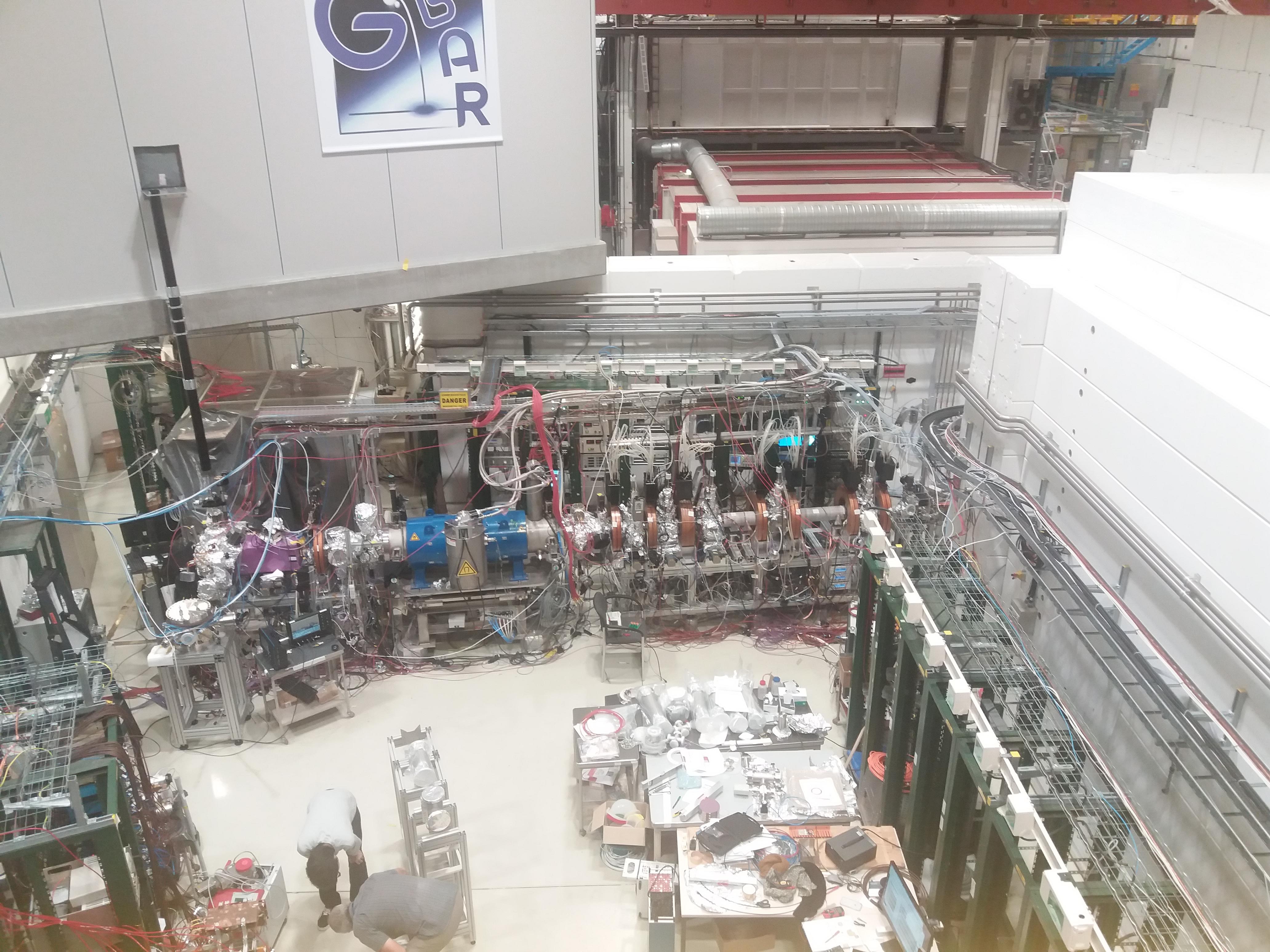
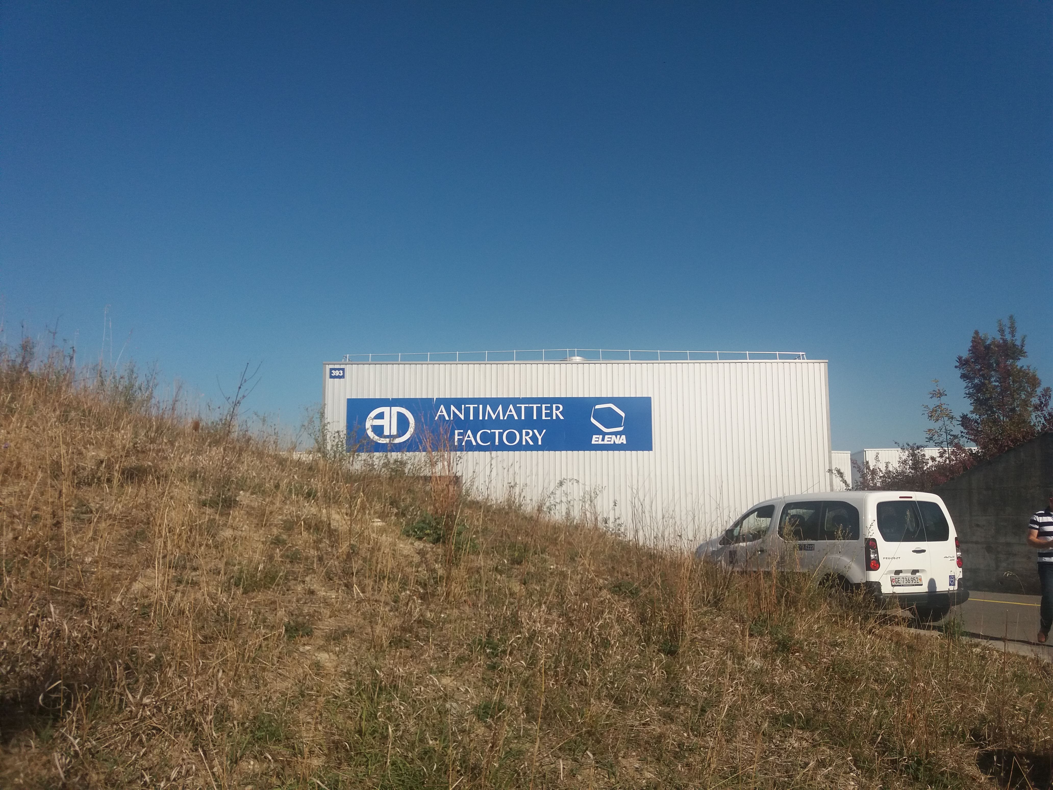
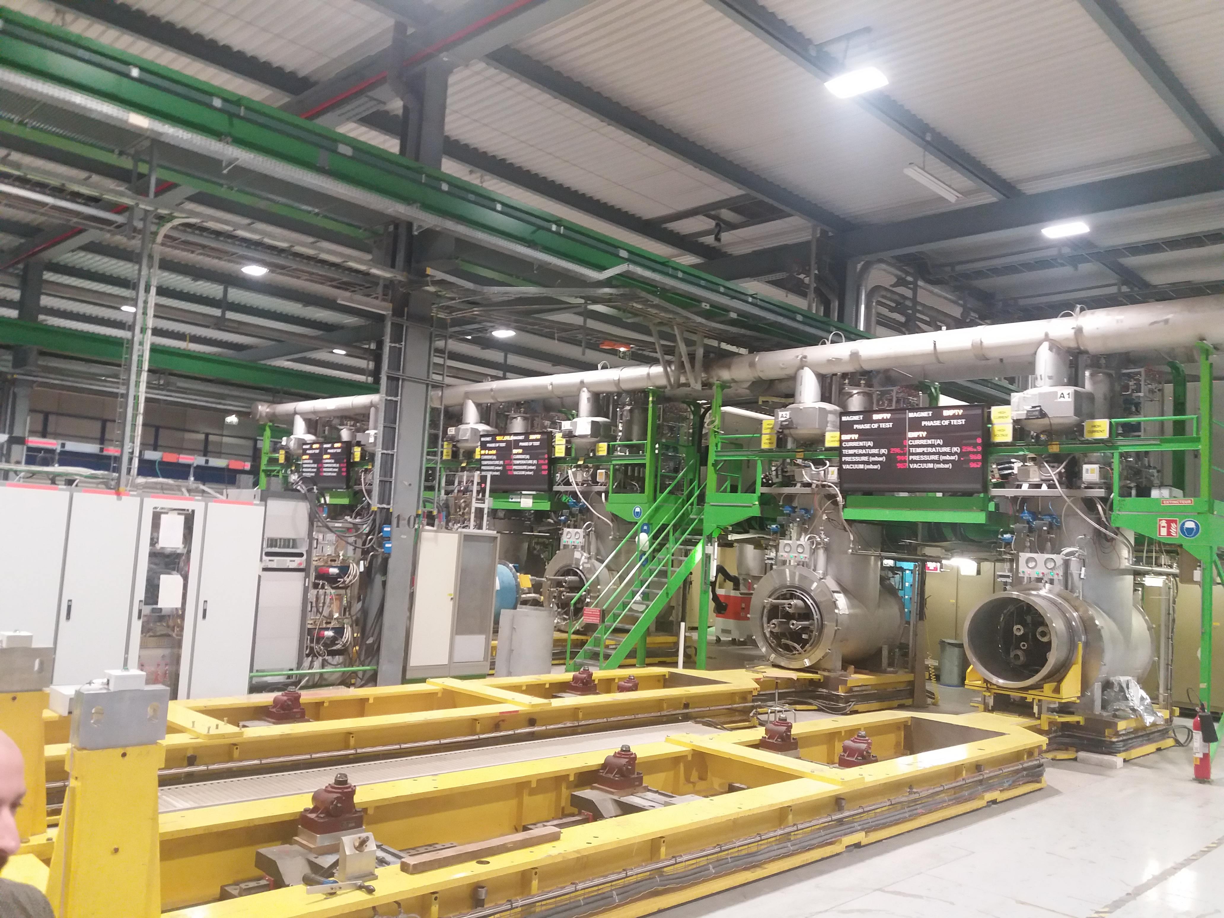
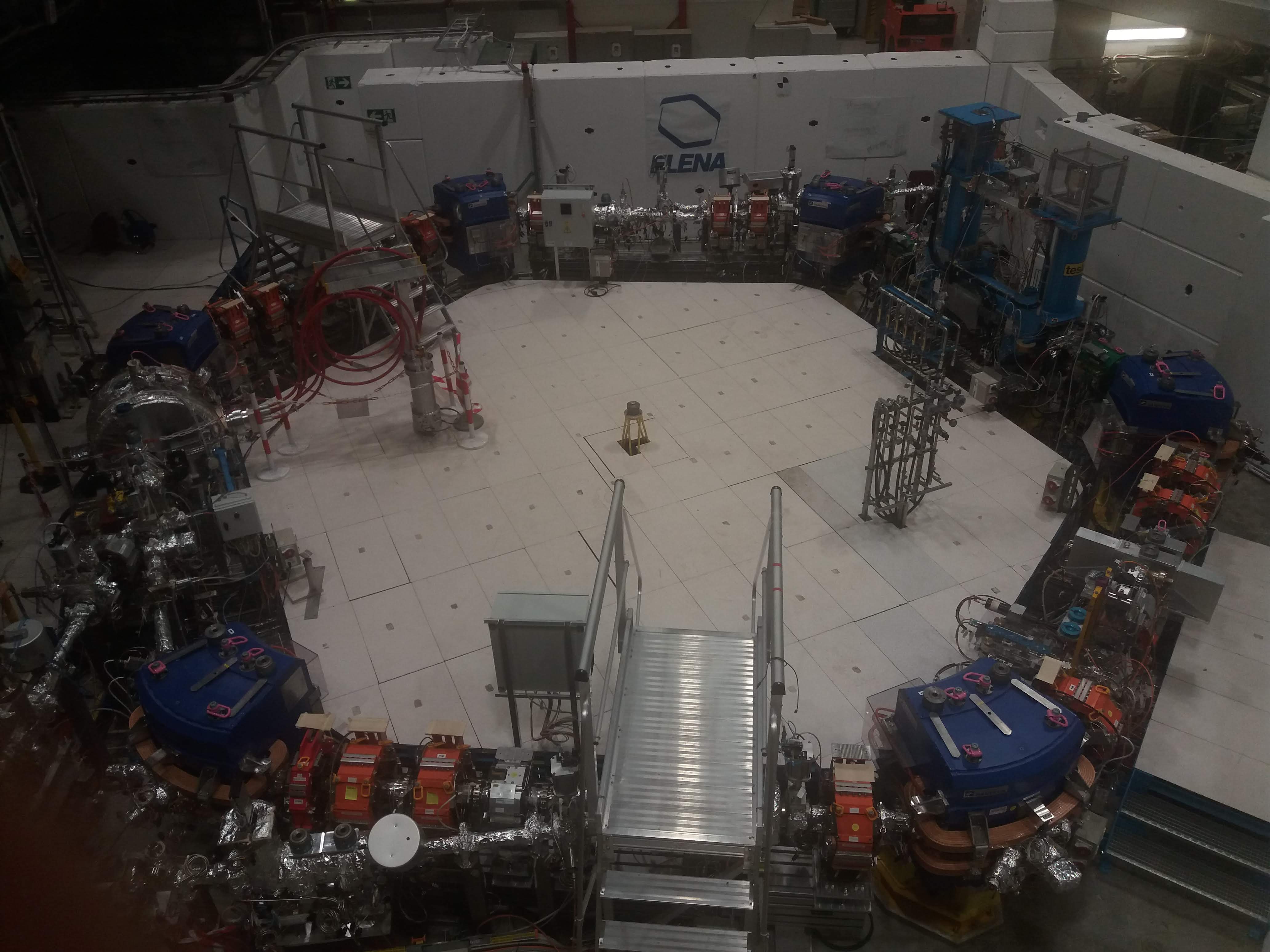
Antimatter experiments: ELENA, GBAR
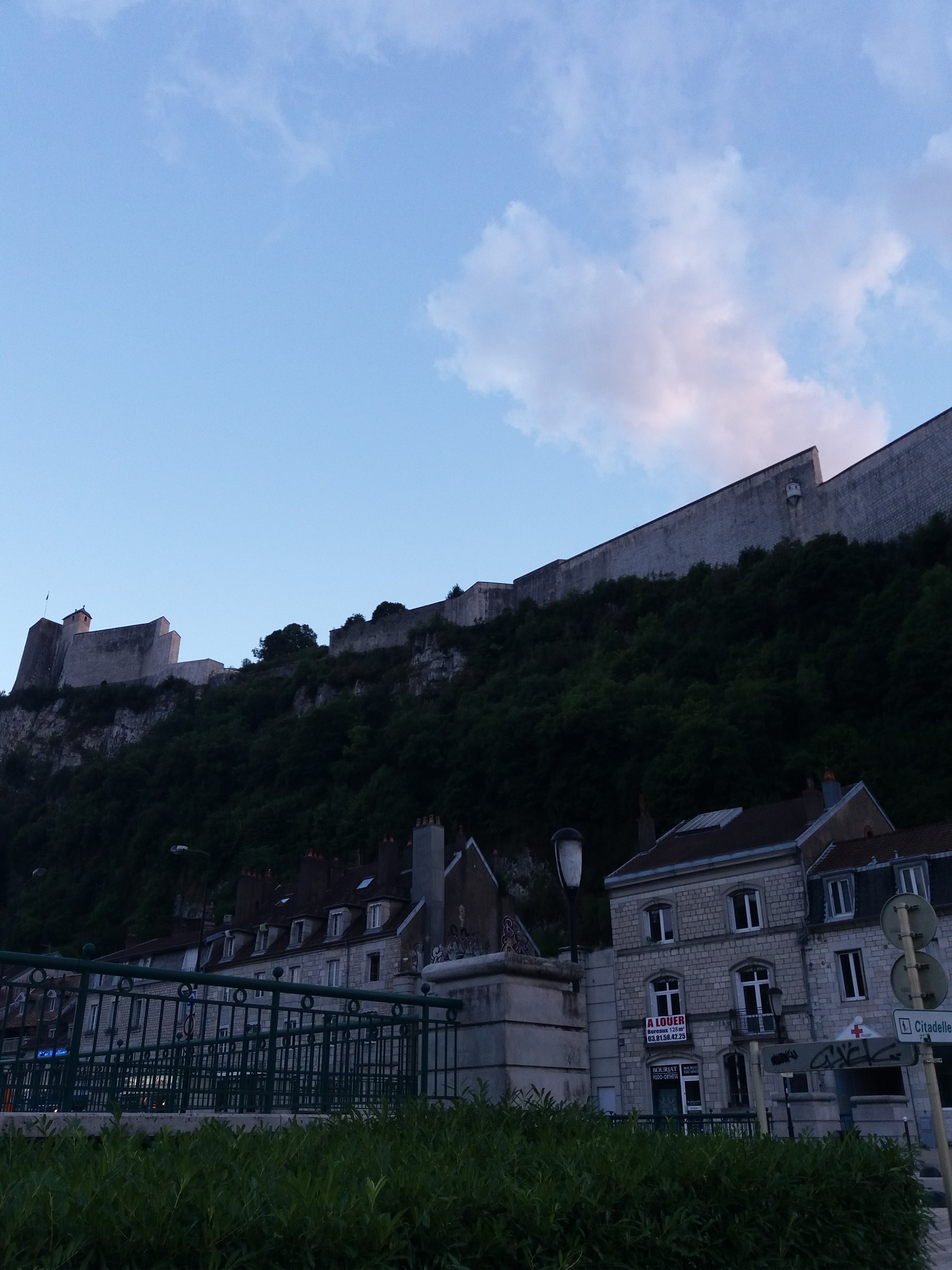
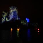
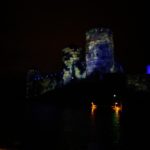
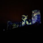
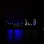
Citadelle de Besancon. EFTF-IFCS 2017 this week in Besancon.
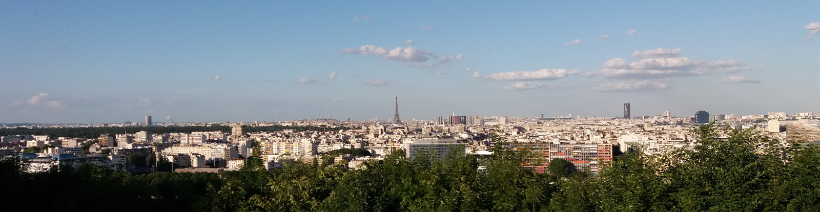
Paris from parc de Saint-Cloud.
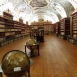
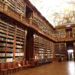
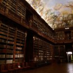
ITSF2016 last week including a visit to the Strahov library.
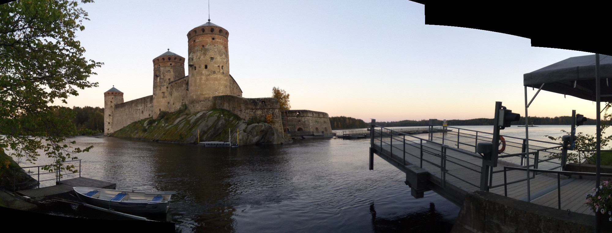
Olavinlinna, the northernmost medieval stone fortress still standing.
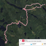
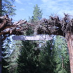
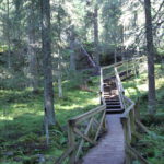
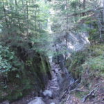
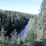
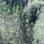
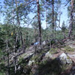
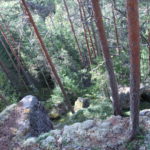
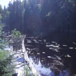
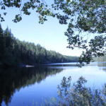
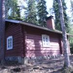
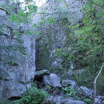
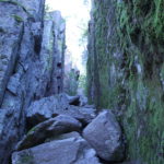
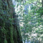
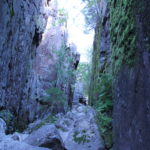
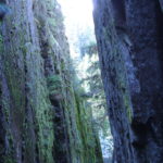
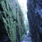
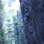
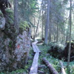
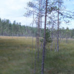
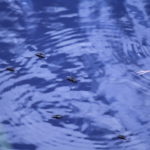
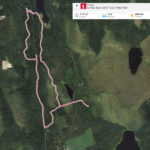
Some hiking in Helvetinjärvi ("Lake of Hell") and Seitseminen national parks.