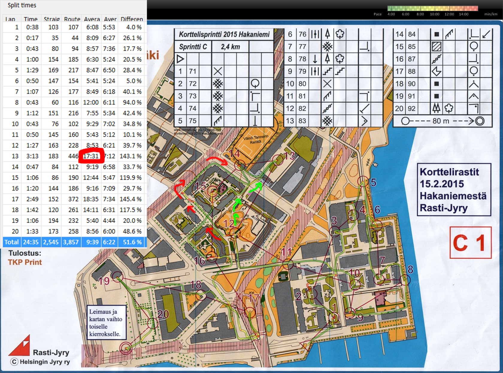
Sprint-O on familiar streets today. The 5 km course was composed of two sprint-courses, 2.4 km in Hakaniemi and 2.6 km in Kruununhaka. I didn't use a compass today 😉
The Polar V800 GPS did not work great on the Hakaniemi map and I had to correct the GPS-trace a lot to get this result. Mostly OK going, but out of #12 I took the wrong path down from the control-hill, assumed I had hit the right street leading towards #13, and ended up close to the forbidden area (Hämeentie). Green arrows show the correct path, probably up to 2 min lost here.
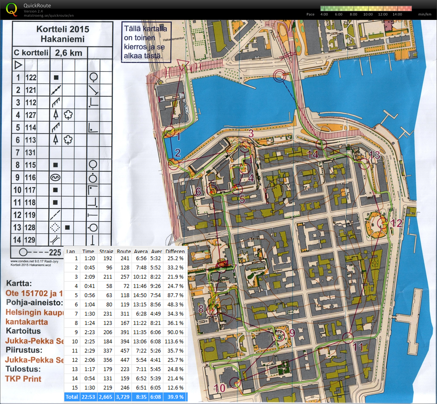
On the second course I didn't make any major mistakes. #3 was hard to say if it was reachable only below from the sloping hill, or also from the top along the much easier terrace with a fence. I took the slower path from below and then climbed the fence after finding the control. The way out from #8 towards #9 seems awkward and slow, but maybe there is no route directly south out of #8?
Total time 47min 22s for both courses. 12th place out of ca 63 runners.